
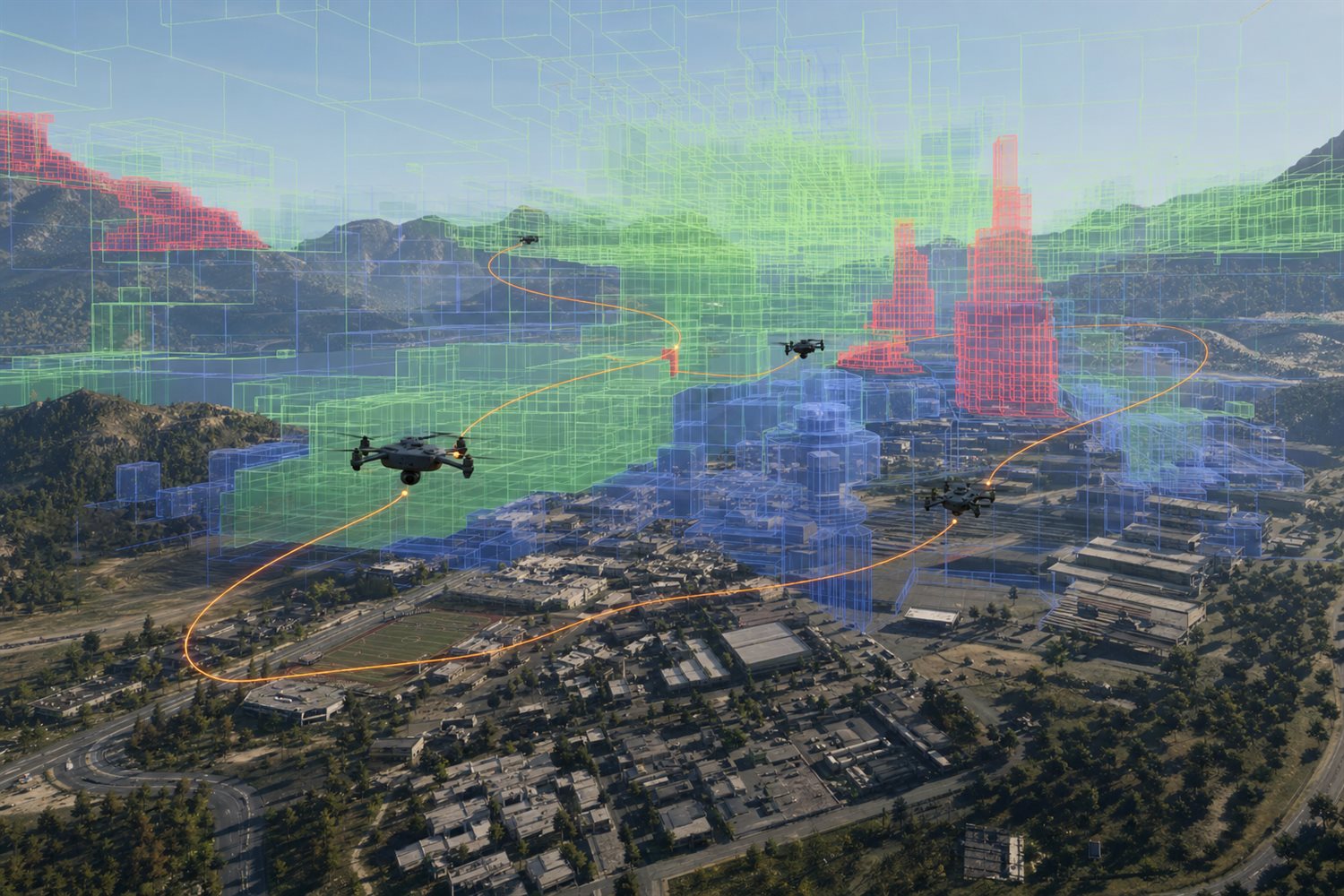
Overview
O3DE’s Recast only understands walkable ground. Drones, flying mounts, schools of fish, and submersibles have nowhere to path in volume space; the UE ecosystem often relies on paid third-party plugins. DawnEngine Navigation3D represents flyable/swimmable space with a sparse voxel octree, uses Lazy Theta* for smooth 3D paths, and supports ground–air hybrid “transfers”.
Key Capabilities
- Sparse-voxel volumetric nav: proven volume navigation with bounded memory and query cost.
- Motion models: hover (drone/helicopter) and fixed-wing (minimum turn radius).
- Ground–air hybrid: walk → board and take off → land and walk again on one API.
- Climbing & underwater domains: vertical climb surfaces and water volumes in the same system.
- HTN operators: ready-made move operators for HTN.
Use Cases
- Drone swarms, low-altitude economy, and flying mounts.
- Underwater units and submersible simulation.
- Military analysis and robotics training that need 3D mobility.
Related Features
Navigation3D solves “how to get there”; HTN AI decides “what to do”; scale it inside World Streaming large worlds.