
Overview
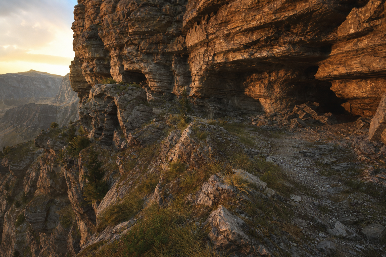
Heightfield terrain cannot express overhangs, caves, or vertical rock faces — artists patch with meshes. Open-source O3DE only ships heightfields. DawnEngine PolyTerrain upgrades terrain to true 3D mesh landforms, natively integrated with World Streaming and double-precision coordinates. Maturity: shipped (PolyTerrain Gem); disabled by default and must be enabled in the Settings Registry before authoring. PolyTerrain-bound PCG graphs are available; a general-purpose standalone PCG Gem remains on the roadmap.
Key Capabilities
- True 3D terrain: cliffs, caves, and overhangs without mesh patches.
- Non-destructive modifier stack: sculpt, noise, spline roads, boolean cuts, and more — any step can be revisited without destroying source data.
- Full sculpt/paint: six sculpt brushes, weight painting, procedural fill, tablet pressure.
- Layered materials: up to 8+ weight channels; runtime virtual texturing keeps large-world cost in check.
- Heightfield coexistence: bidirectional conversion and soft borders for gradual migration.
- PCG & GIS: C++/Python surface queries; GeoTIFF elevation import; PolyTerrain-bound PCG graphs are shipped (general PCG Gem still planned).
- Large-world native: cell streaming, automatic HLOD, full double precision, fast baked loads.
Use Cases
- Open-world games and projects needing real landforms (mines, canyons, karst).
- Simulation and digital twins driven by real GIS data.
- Teams that need non-destructive, collaborative terrain workflows.
Related Features
PolyTerrain is built as one stack with World Streaming and double-precision coordinates.